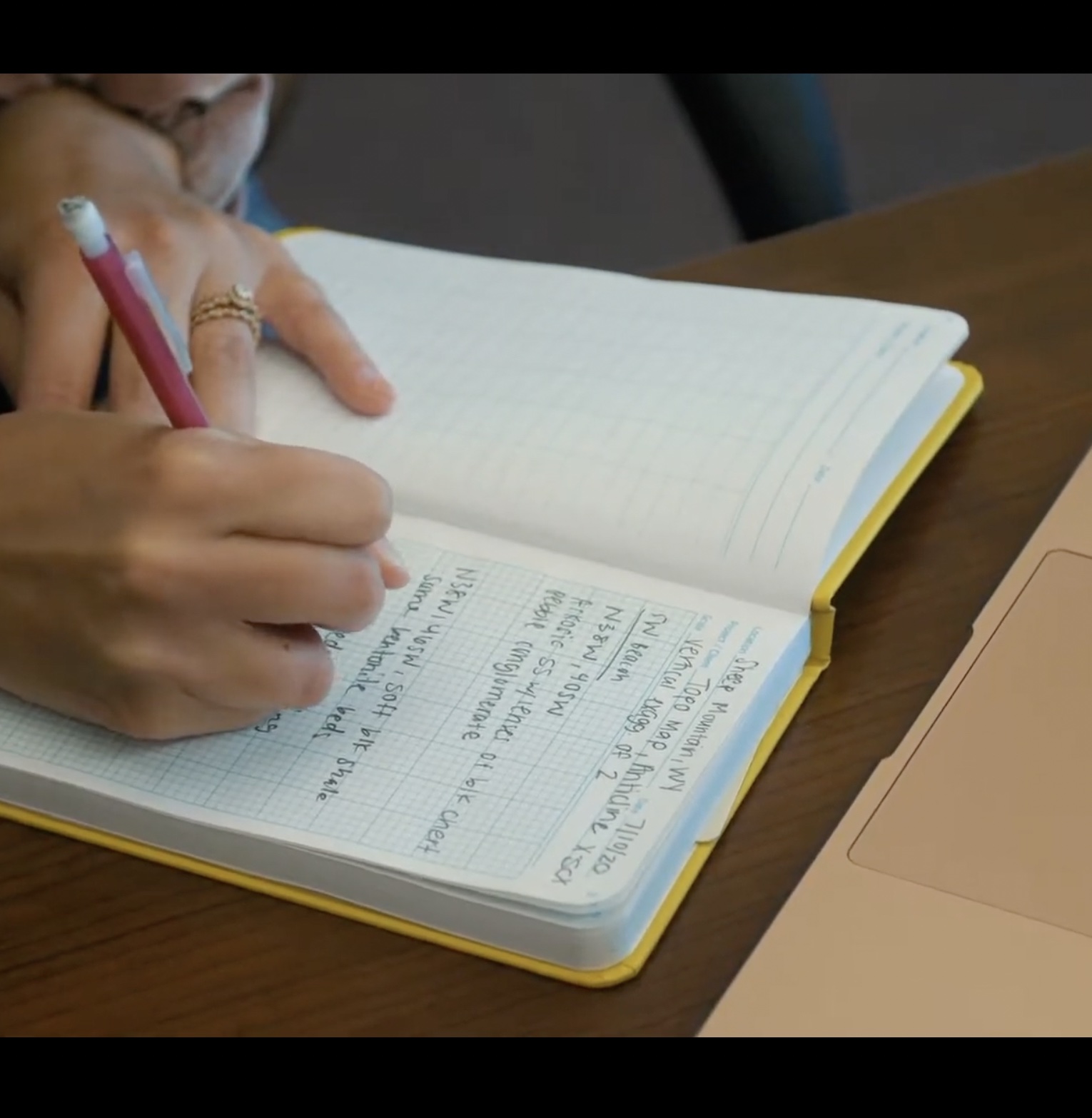
The game will place you at a virtual basecamp (re-creation of Mickelson Field Station, our spiritual home base for much of camp) and include four different re-creations of real mapping locations in the Bighorn Basin of Wyoming. You will traverse each area and map the bedrock geology on a paper map.
The game will place you at a virtual basecamp (re-creation of Mickelson Field Station, our home base for much of camp) and include four different re-creations of real mapping locations in the Bighorn Basin of Wyoming. You will traverse each area and map the bedrock geology on a paper map.
Data that you will use to construct a geologic map of the locations include:
- Sign posts scattered across the area with:
- rock descriptions
- structural information (strike and dip of rock layers
- photographs of outcrops, views, and samples
- Blocks (the virtual land you walk across) composed of basic rock types
- Landscape topography.
- The topography you walk across in the game will correspond with real world topography as indicated on the base map, on which you will be drawing the bedrock geologic map
- Compass.
- The compass in Minecraft will behave like a Brunton transit, giving you bearings and allowing you to orient yourself in the virtual field.
Class will involve both synchronous and asynchronous components. The following online mechanisms will drive the class.
- Wichita State’s Blackboard Learning system for basic class information, assignment instructions, assignment submission, and grading.
- Virtual mapping projects using Minecraft (Java Edition). To some degree, the game allows us to mimic the exploration and mapping component that is so integral to “normal” camp exercises.
Yes, it’s not the same as hiking in the field, but the virtual game will allow for certain core elements of field work:
- Mapping 3D structural and stratigraphic relationships from scattered field data
- Correct technical map making skills
- Decision-making of geologically reasonable mapping solutions from sparse data
- Justification of the history and sequence of events in a mapping area


